On July 17-22, 2022, the international conference IGARSS 2022 was held, at which, among 1,990 submitted materials, three works were presented by employees and talented students of the Space Reserch Institute NASU-SSAU. In particular:
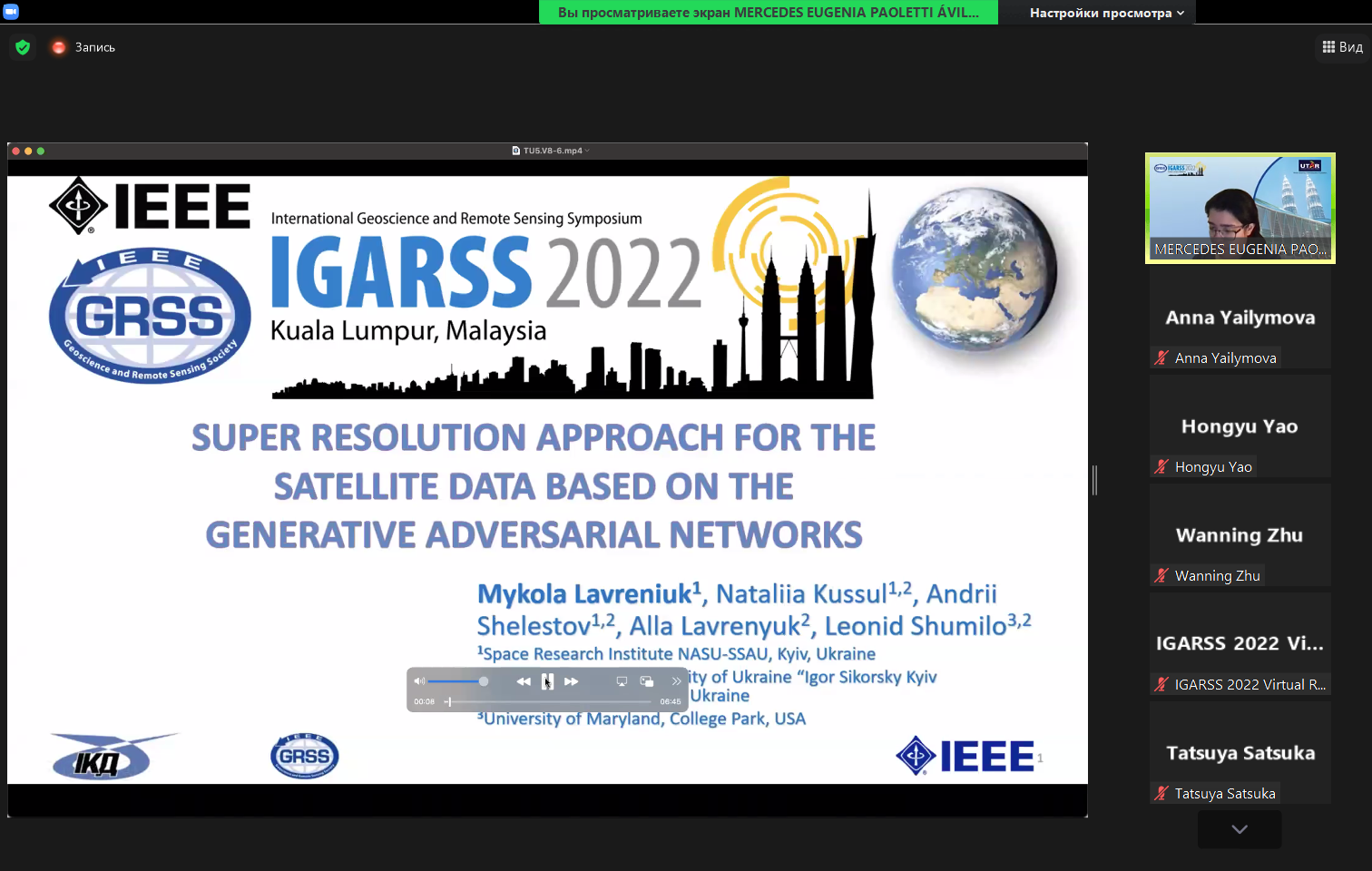
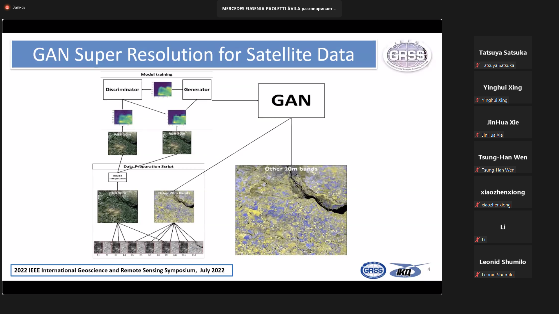
- Super resolution approach for the satellite data based on the generative adversarial networks
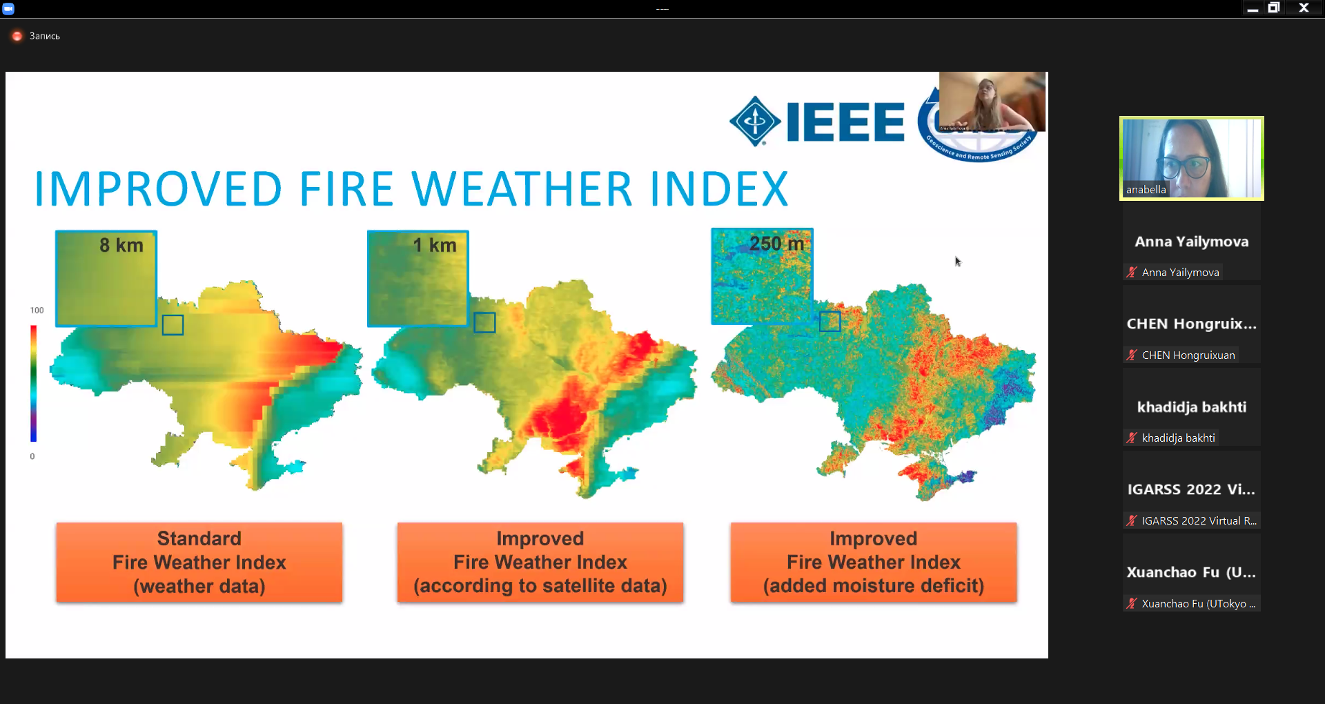
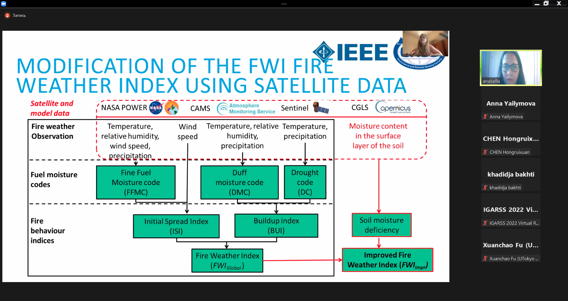
Mykola Lavreniuk, Nataliia Kussul, Andrii Shelestov, Alla Lavrenyuk, Leonid Shumilo - Fire danger assessment based on the improved fire weather index
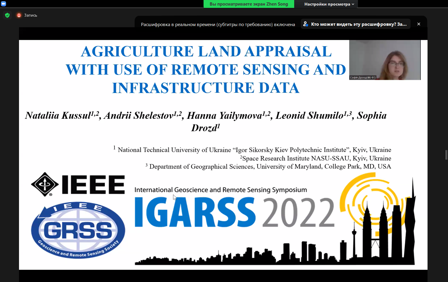
Nataliia Kussul, Bohdan Yailymov, Andrii Shelestov, Hanna Yailymova - Agriculture land appraisal with use of remote sensing and infrastructure data
Nataliia Kussul, Andrii Shelestov, Hanna Yailymova, Leonid Shumilo, Sophia Drozd
These works were performed and presented within the framework of the projects of the National Research Fund of Ukraine, which were suspended this year due to the war in Ukraine:
- 2020.02 / 0284 «Geospatial models and information technologies of satellite monitoring of smart city problems» (competition of the National Research Foundation of Ukraine «Support for Research of Leading and Young Scientists»);
- 2020.02 / 0292 «Methods and models of in-depth training for applied tasks of satellite monitoring» (competition of the National Research Foundation of Ukraine «Support for Research of Leading and Young Scientists»).
Leonid Shumilo, presented the work Super resolution approach for the satellite data based on the generative adversarial networks, where he showed the possibilities of increasing the spatial resolution of satellite data using generative neural networks.
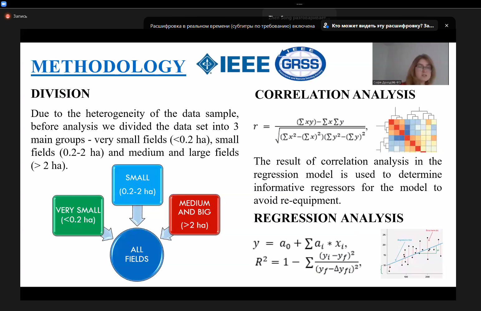
Sofia Drozd spoke about the possibility of assessing the value of land using various predictors obtained on the basis of geospatial information and satellite data as part of the work Agriculture land appraisal with use of remote sensing and infrastructure data.
Hanna Yalymova gave a presentation on Fire danger assessment based on the improved fire weather index, where she talked about the improved technology of monitoring the fire danger index using satellite data.
