
The Satellite data science in Google Earth Engine group takes place in Space Research Institute NASU-SSAU within the European space strategy Copernicus Academy, aimed at educating young scientists and creating progressive communities in the field of innovation.
Space Research Institute is participants in this program, which provides an opportunity for a new generation of inventors to realize themselves.
The entire group program is built in the framework of “learning-by-doing” strategy – learning through the acquisition of practical skills and experience in using innovative technologies to solve current problems. It will be useful for those who are interested in science trends and technologies, seek to become a leading expert in Machine Learning and Deep Learning and build yourown careers as a Data Scientists.
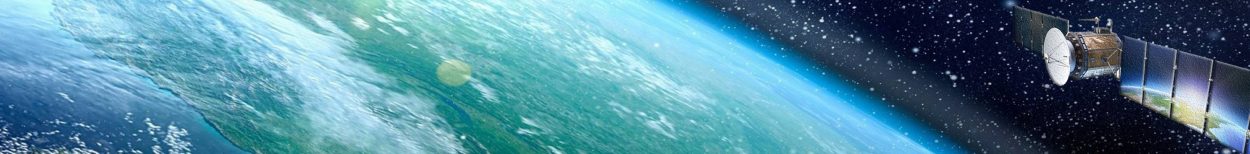
This group is the first introduction of satellite data, using them for important applications based on open cloud platform – Google Earth Engine (GEE).
The participants of the event will be able to get acquainted with:
What gives you the group?
• Participate in a real project from Google, which can later become an important point in your resume or recommendations for study or internship abroad;
• introduction to machine learning and practical skills using object-oriented programming language and Java Script. At the third lesson, the lecturers give the materials of machine learning and its areas of application. The participants learn to use the basic methods of machine learning Random Forest and k-means to solve practical problems of clustering and classification for the territory of Kyiv region on the basis of Sentinel-2 data in the cloud platform GEE;
• familiarity with the profession of Data Scientist using Big Data. Based on the acquired knowledge and skills, the members create their own projects within the framework of modern environmental tasks and trends, using current satellite data, learn to analyze the results and find a way to implement their ideas as Junior satellite data scientists.
The group program includes:
- presentation of the theoretical material that corresponds to the lesson topic;
- performing practical tasks under the guidance of a teacher based on real satellite data. The tasks are formed within the international and national strategies aimed to improving the state of the environment and the rational use of land resources.
The participants of the group program are given a task similar to the one performed during the lesson, and a minimum list of materials sufficient for solving the task is available.
Classes are interconnected and built in such a way that all previous material provides an opportunity to learn new methodologies for working with satellite data. As a result of the program, the participant has a full set of knowledge and tools to build their own GIS-project and its defense to teachers and other members of the group.
So if you have a desire to grow in the environment of “open-mind” people, to expand your horizons – register and learn the secrets of scientific activity!
Classes are held every Wednesday on a regular basis from 16.00 to 18.00.
Our telegram channel: https://t.me/joinchat/Fz2DQBxSUP7DCv9pouGaag
Program: https://qrgo.page.link/nEsfp
Registration at the link: https://qrgo.page.link/LHVC1