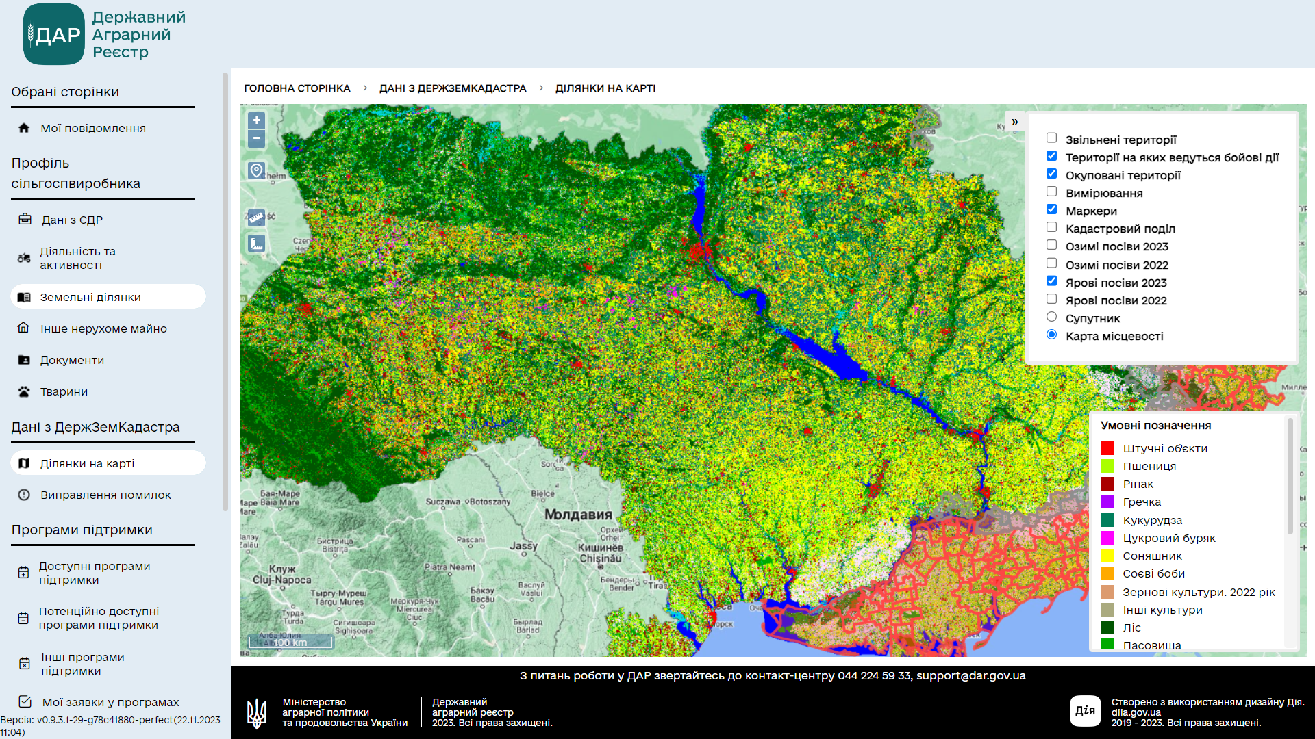
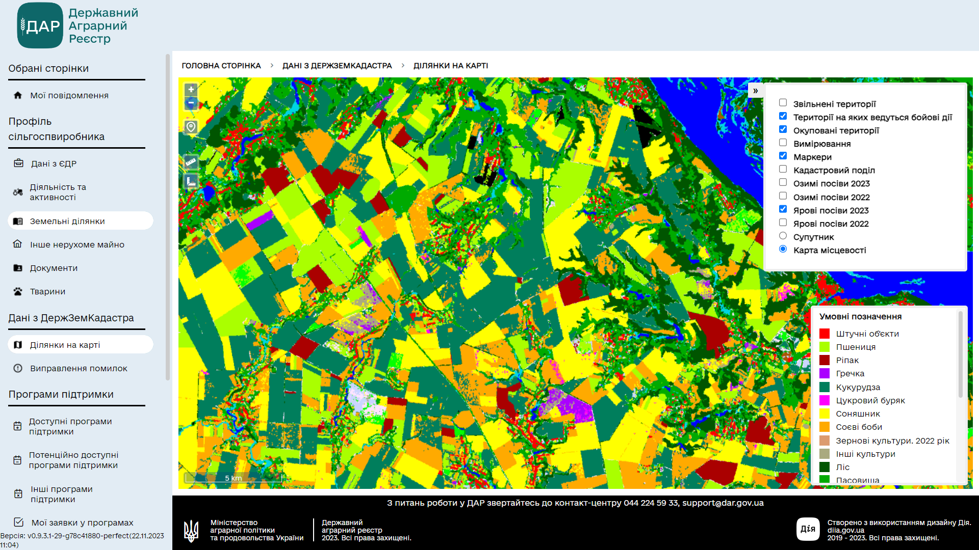
Our satellite maps of crops have been added to the cabinet of the agricultural producer in the State Agrarian Register.
The maps were created by employees of our department together with colleagues from the KPI named after Igor Sikorsky with the support of the World Bank’s Global Fund for Disaster Reduction and Recovery (GFDRR). Sentinel-1, Sentinel-2 and Planet satellite images were used to obtain information. Machine learning technology was used to classify the crop cover.
The published crop maps contain data on the location and area of fields with key agricultural crops, such as: winter wheat, barley, spring cereals, corn, sunflower, soybeans, peas, sugar beets, grapes and others. Maps also show forest, wetlands, water or man-made features, open ground, and uncultivated land.
“The Ministry of Agricultural Policy plans to further improve the process of verification of crops in DAR, making it fully automatic. This is an objective, transparent and effective approach that fully complies with EU requirements. Therefore, it is extremely important to have in the system up-to-date data on the harvest and the general condition of the land plots of agricultural producers who benefit from state support or other types of assistance,” said Denis Bashlyk, Deputy Minister of Agrarian Policy and Food of Ukraine for Digital Development, Digital Transformations and Digitalization.
We do not stop at what we have achieved and continue to work fruitfully!