| 2018-2010 | 2008-2000 |
| 2023, 2022, 2020, 2019, 2018, 2016, 2014, 2011, 2010 | 2008, 2007, 2006, 2005, 2004, 2003, 2000 |
2024
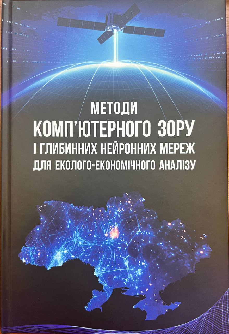 Методи комп’ютерного зору і глибинних нейронних мереж для еколого-економічного аналізу
Kussul N.M., Shelestov A.Yu., Lavreniuk A.M., Yailymov B.Ya., Yailymova H.O., Kolotii A.V., Drozd S.Yu., Savin V.V., Mikava P.V., Kyrylenko I.A., Yavorskyi O.A., Okhrimenko A.O., Parkhomchuk O.M., Khar D.F., Volkova E.A.
K.: “Naukova Dumka” – 2024. – 474 p. (in Ukrainian).
ISBN: 978-966-00-1940-9
The monograph contains the results of research by the Department of Mathematical Modeling and Data Analysis of the National Technical University of Ukraine “Igor Sikorsky Kyiv Polytechnic Institute” for solving problems of ecological and economic analysis based on modern methods of computer vision and deep learning. It is based on the results of national and international projects of the Ministry of Education and Science of Ukraine, the National Research Foundation of Ukraine and Horizon Europe.
The proposed methodology is being implemented in the Ministry of Agrarian Policy and Food of Ukraine, the State Statistics Service, and the State Geocadastre. At the international level, the results are used by the EBRD, the JRC-EC center, the UN-SPIDER platform, and the NASA Harvest program on the use of satellite data for agricultural monitoring. The monograph is Ukraine’s contribution to the EuroGEO program on the integration of European practices to support decision-making. The results presented are the basis for the development of innovative projects and startups in satellite monitoring, ecology, agriculture, and natural resource management.
The monograph will be useful for scientists involved in the development and implementation of intelligent models, specialists in geospatial analysis, representatives of state authorities and international organizations responsible for natural resource management and environmental monitoring. It will become a valuable resource for students, graduate students, and teachers of technical and natural sciences.
Prepared for publication with the support of the Ministry of Education and Science of Ukraine within the framework of the competitive project “Information technologies of geospatial analysis of the development of rural areas and communities” No. RN/27-2023 of 25.2023 of the European Union’s external assistance instrument program.
Link>>> (List of Chapters and Sections)
Chapter. A Survey of Deep Learning for Remote Sensing, Earth Intelligence and Decision Making
Nataliia Kussul, Volodymyr Kuzin & Andrii Shelestov
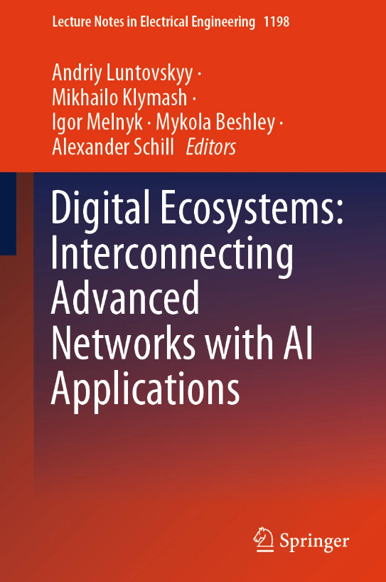
Luntovskyy, A., Klymash, M., Melnyk, I., Beshley, M., Schill, A. (eds) Digital Ecosystems: Interconnecting Advanced Networks with AI Applications. TCSET 2024. Lecture Notes in Electrical Engineering, vol 1198. Springer, Cham. https://doi.org/10.1007/978-3-031-61221-3_5
Print ISBN 978-3-031-61220-6
Online ISBN 978-3-031-61221-3
This article presents a comprehensive overview of the applications of deep learning techniques in remote sensing. It discusses various neural network architectures, including convolutional neural networks (CNNs), recurrent neural networks (RNNs), generative adversarial networks (GANs), and graph neural networks, and their utilization in tasks such as land cover mapping, object detection, image segmentation, time series analysis, and change detection. Specifically focusing on Ukraine, the article highlights successful applications of deep learning, such as multi-temporal crop classification using Sentinel data, object detection for disaster monitoring, agricultural yield forecasting through RNNs and GANs, and the potential of graph neural networks in various remote sensing applications. Future prospects include further innovation in deep learning architectures, particularly transformers, and the adoption of hybrid models for Earth Intelligence and decision-making support.
2023
Nataliia Kussul, Andrii Shelestov & Bohdan Yailymov
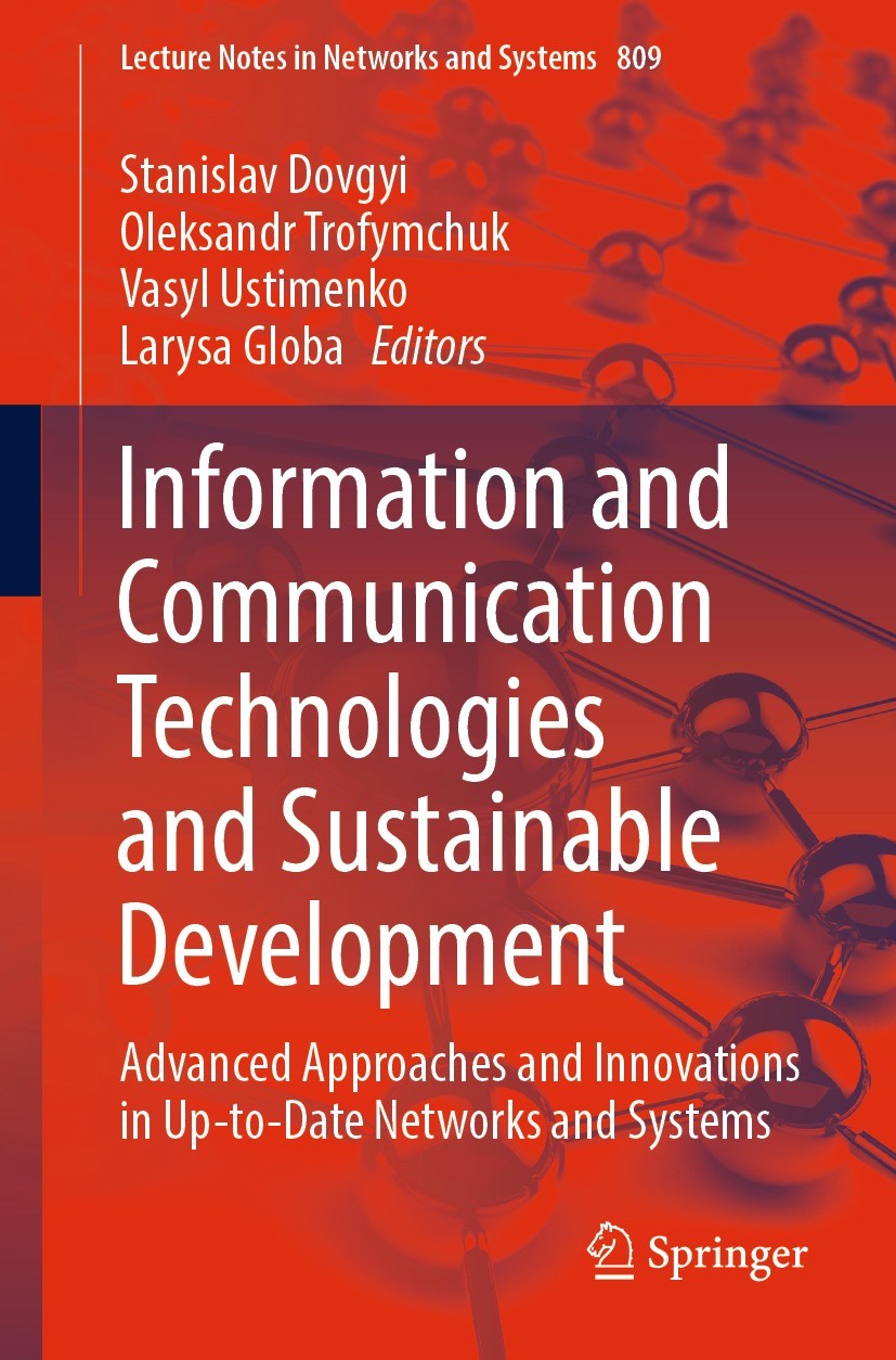
Dovgyi, S., Trofymchuk, O., Ustimenko, V., Globa, L. (eds) Information and Communication Technologies and Sustainable Development. ICT&SD 2022. Lecture Notes in Networks and Systems, vol 809. Springer, Cham, pp 303–321.
https://doi.org/10.1007/978-3-031-46880-3_19
Print ISBN 978-3-031-46879-7
Online ISBN 978-3-031-46880-3
This paper addresses the problem of processing large volumes of satellite data and compares different cloud platforms for potential solutions. Existing cloud platforms like Google Earth Engine, Amazon Web Services (AWS), and CREODIAS have been used to tackle this challenge. However, this study proposes an optimal pipeline for satellite data processing, taking into account the advantages and limitations of each platform. The specific focus is on solving machine learning problems using satellite data. In the experiment conducted, the effectiveness of each cloud platform was analyzed. It was found that cloud platforms offer benefits such as flexibility, access to computing resources, and parallel processing architectures, leading to increased productivity and cost reduction. CREODIAS, in particular, stands out due to its specialization in satellite data and easy access to various data types, along with tools for data searching and visualization. The experiment demonstrated that tasks, from data loading to classification, were executed fastest on CREODIAS resources. However, AWS performed data classification faster. The availability of its own internal data bucket was a significant advantage of CREODIAS, especially when considering ARD data. These findings contribute to the advancement of AI methodologies and have practical implications for solving satellite monitoring applications.
Chapter. Current Advances on Cloud-Based Distributed Computing for Forest Monitoring
Andrii Shelestov, Yevhenii Salii, Nataliia Hordiiko, Hanna Yailymova
Dovgyi, S., Trofymchuk, O., Ustimenko, V., Globa, L. (eds) Information and Communication Technologies and Sustainable Development. ICT&SD 2022. Lecture Notes in Networks and Systems, vol 809. Springer, Cham, pp 322–336. https://doi.org/10.1007/978-3-031-46880-3_20
Print ISBN 978-3-031-46879-7
Online ISBN 978-3-031-46880-3
One of the most important tasks related to environmental protection is forests monitoring. Meanwhile, specialists deal with the problem of big data and the need to utilize powerful computing resources that are not always available. Cloud solutions (CREODIAS, Google Earth Engine, etc.) provide instant satellite data access and the ability to quickly and conveniently process geospatial data in the cloud and use it to search for information products. Forest monitoring is supported by the European Commission (EU project SWIFTT), the World Wildlife Fund and others. This work analyzes Sentinel-2 satellite spectral channels, which distribution of pixel values was constructed for diseased and healthy forests, and the possibility of separating these two classes was analyzed based on the Bhattacharya distance. The informativeness of time series application of the normalized difference vegetation index (NDVI) was analyzed. The assumption that the average value of NDVI decreases and the standard deviation increases when the forest changes is confirmed. Getting results for large areas will lead to a big data problem. Therefore, the structure of the pilot information system is proposed as the basis for a further cloud solution with the development of a machine (deep) learning model for forest monitoring in any territory (including Ukraine). This system allows monitoring forests dynamics based on time series of satellite data at the country level and worldwide. This will be an important step for Ukraine as a potential member of the EU in the field of providing information services and monitoring the most sensitive natural resources.
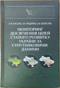 Monitoring of sustainable development goals using satellite data [in Ukrainian]
Fedorov, O., Kussul, N., Shelestov, A.
Kyiv, Naukova Dumka. – 2023. – 164 p.
DOI: https://doi.org/10.15407/978-966-00-1865-5
ISBN: 978-966-00-1865-5
The monograph dedicates to the results of development and implementation by Ukrainian scientists of information technologies and services for estimation indicators of sustainable development based on the use of satellite Earth observation data. The work is aimed at solving current socio-economic problems, in particular, achieving the goals of sustainable development formulated by the United Nations, monitoring global climate changes, and catastrophic events. The methodology for determining indicators of sustainable development, information technologies for their calculating based on satellite data and corresponding geospatial products using modern cloud technologies is proposed. In particular, the implementation in Ukraine of the ideology of the newly created international system of systems of Earth observations GEOSS and Copernicus program is presented. The gained experience allows proposing the ideology of the Ukrainian segment of GEOSS – UkrGEO information system, which involves the integration and exploitation of many new satellite datasets, as well as the significant modernization of national statistical and geospatial systems in the context of digitalization of the economy and Industry 4.0.
For specialists in the field of space information technologies, satellite Earth observations, geoinformation systems, environmental safety, sustainable development, as well as graduate students and students of relevant specializations.
2022
 Chapter. Cloud-Based Technologies for Data Processing in Ukraine: International Context
Andrii Shelestov, Bohdan Yailymov, Hanna Yailymova, Svitlana Nosok, Oleh Piven.
Ilchenko, M., Uryvsky, L., Globa, L. (eds) Progress in Advanced Information and Communication Technology and Systems. MCiT 2021. Lecture Notes in Networks and Systems, vol 548. Springer, Cham. pp. 101–118
DOI: 10.1007/978-3-031-16368-5_5
During last time we have faced with big data problem in Earth observation domain. Fortunately, cloud solutions such as Amazon Web Services, Google Earth Engine and others platforms provide an access to Sentinel-1, Sentinel-2 and Landsat data with spatial resolution from 10 to 30 m, opportunities for quick and convenient way of geospatial data processing and usage for a lot of different information products retrieval like land cover classification maps, crop state monitoring etc. During last few years we had experience of cloud-based technologies usage within scientific and innovation projects, which are supported by European Commission, World Bank, United Nations Development Program, GEO Committee and have experience of open-source software development and machine (deep) learning usage in cloud environment, namely Open Data Cube. This package provides the opportunities for data collection, deployment and provision on the base of 3D model of data representation. The developed technologies are implemented on diverse cloud platforms and solve various types of applied problems, in particular, monitoring of agricultural lands, assessment of sustainable development indicators at the national level. All of these questions will be described in our chapter in more detail.
Chapter. Mathematical Models and Informational Technologies of Crop Yield Forecasting in Cloud Environment
Leonid Shumilo, Sofia Drozd, Nataliia Kussul, Andrii Shelestov, Sergiy Sylantyev
Ilchenko, M., Uryvsky, L., Globa, L. (eds) Progress in Advanced Information and Communication Technology and Systems. MCiT 2021. Lecture Notes in Networks and Systems, vol 548. Springer, Cham. pp. 143–164.
DOI: 10.1007/978-3-031-16368-5_7
The agricultural sector plays a very important role in the country’s economy. Often, crop failures are the cause of protracted financial crises, which are very difficult to overcome. Fortunately, modern scientific methods allow us to predict the yield of certain crops in selected fields based on data on soil properties and weather conditions. Such study requires high-resolution data, the downloading and processing of which requires the involvement of powerful cloud infrastructures, graphics processors and other technological solutions. Involvement of these technologies and reliable forecasting of yield help to make the right decision about sowing and avoid crop failure. However, collecting data on soil properties directly from agronomists and local farmers is a very long and hard process. In addition, the data collected may be inaccurate and expensive. As a result, a process will be launched that will eventually lead to an agrarian and financial crisis. However, a solution to this problem has already been found. Remote sensing data together with biophysical models has long been used in the world. In this section the state-of-the-art and current results in this area have been done.
2020
 Chapter 18. Measurement Techniques. In Agroclimatology (eds J.L. Hatfield, M.V. Sivakumar and J.H. Prueger): Linking Agriculture to Climate
Howard, A., Chipanshi, A., Davidson, A., Desjardins, R., Kolotii, A., Kussul, N., McNairn, H., Skakun, S. and Shelestov, A.
2020. – Vol. 60. – P. 489-517
DOI: 10.2134/agronmonogr60.
Major themes of the book include: principles of energy exchange and climatology, understanding climate change and agriculture, linkages of specific biological systems to climatology, the context of pests and diseases, methods of agroclimatology, and the application of agroclimatic principles to problem-solving in agriculture.
Chapter 18 aims to identify key state of the art operational or near‐operational techniques and discusses them at scales that are relevant to agricultural production. It covers soil moisture measurement techniques that are available over a range of scales. Soil moisture is a key variable for crop productivity, crop management practices, flood and excess moisture risk, and is a controlling factor in greenhouse gas emissions from farming operations. Crop condition and drought monitoring techniques have been used as early warning for production and food security issues. Quantification of drought severity was originally based on meteorological and/or hydrological data. The chapter presents two case studies that apply the concepts and techniques toward measurement of the elements. The case studies presented are crop condition assessment in the Ukraine and the carbon footprint of beef in Canada.
2019
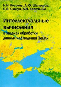
 Deep learning methods for geospatial analysis and Earth observation tasks
Andrii Shelestov, Mykola Lavreniuk, Yailymov Bohdan, Oleksii Tkachenko
Kyiv, “Naukova Dumka” – 2019. – 228 с. (in Ukrainian)
The book is devoted to the development of methods of geospatial analysis and solving the problems of Earth observation, in particular, the classification of the Earth’s cover. These methods are based on the use of intelligent approaches to processing large-scale geospatial data, such as deep learning.
2018
 Despeckling of Multitemporal Sentinel SAR Images and Its Impact on Agricultural Area Classification
Vladimir Lukin, Oleksii Rubel, Ruslan Kozhemiakin, Sergey Abramov, Andrii Shelestov, Mykola Lavreniuk, Mykola Meretsky, Benoit Vozel and Kacem Chehdi
In Recent Advances and Applications in Remote Sensing. IntechOpen (Chapter 2). – 2018. – P. 21-40.
This chapter addresses an important practical task of classification of multichannel remote sensing data with application to multitemporal dual-polarization Sentinel radar images acquired for agricultural regions in Ukraine. We first consider characteristics of dual-polarization Sentinel radar images and discuss what kind of filters can be applied to such data. Several examples of denoising are presented with analysis of what properties of filters are desired and what can be provided in practice. It is also demonstrated that the use of preliminary denoising produces improvement of classification accuracy where despeckling that is more efficient in terms of standard filtering criteria results in better classification.
2016
 Automated information technology for land cover mapping based on satellite data fusion methods and models
Yailymov Bohdan
Supervisor: Professor of the Department of Information Security in the National Technical University of Ukraine “Igor Sikorsky Kyiv Polytechnic Institute”, leading scientist of the Space Research Institute NAS Ukraine and SSA Ukraine, PhD, prof. Andrii Shelestov
The dissertation is devoted to solving a problem of accuracy improvement of classification and timely evaluation of area classes of the land cover and support of high accuracy in mapping of the earth’s surface on large areas by developing of the methods of fusion of different types of large volumes of geospatial data and creating of automated mapping technology. The method of classification of the land cover using satellite data of large volumes on the basis of the use of the ensemble of the neural networks was improved and the methods of fusion of different satellite data on pixels’ levels and decisions levels for mapping were implemented in automated information technology for Ukraine within a service-oriented approach. The method of mapping of the land cover was used in obtaining maps for the territory of Ukraine based on Landsat-4/5/7 for 2010, 2000 and 1990. The obtained maps made it possible to assess the general trends of various purpose of the land cover in Ukraine. The problem of the breach of crop rotation based on the developed technology was solved, the land cover maps were developed for the territory of Kyiv region for 2013-2015 years, the problem of assessing of the damages from drought was solved.
2014
 Disaster risk analysis based on satellite data. Models and technologies
Kussul N., Skakun S., Shelestov A.
Kyiv, “Naukova Dumka” – 2014. – 184 p. (in Russian)
The work is dedicated the method preparation and technologies for geospatial risks analysis of natural disasters. It is proposed a problem statement of geospatial risks assessment, related to natural disasters, and demonstrated the methodology of solution using diverse information (satellite and ground data, data modeling). The stages of problem solving and the ensemble approach for the data processing are justified. Examples of practical application of the developed methods and information technologies to risk estimate for floods and droughts. For researchers engaged disaster risk modeling and elimination of the consequences of this disasters, teachers and high school students of relevant specialties.
 Geospatial analysis of disaster risk
Kussul N., Skakun S., Shelestov A.
Kyiv, “Naukova Dumka” – 2014. – 258 p. (in Ukrainian)
The monograph is devoted to the development of methods and technologies of geospatial analysis of natural hazards. It proposes the formulation of the geospatial risk assessment for natural disasters and the methodology for solving them based on heterogeneous information (satellite and in-situ data as well as modeling data). The stages of solving the risk assessment problem and the ensemble approach to data processing of different nature are justified, examples of practical application of the developed methods and information technologies for the assessment of flood and drought risk are considered.
2011
 Grid and Cloud Database Management Grid
In Fiore, S.; Aloisio, G. (Eds.). — 2011, Springer.
Kussul N., Shelestov A., Skakun S. / Technologies for Satellite Data Processing and Management Within International Disaster Monitoring Projects. Р. 279-306.
Посилання>>>
Завантажити>>>
 Intelligent Data Processing in Global Monitoring for Environment and Security
ITHEA, Êiev-Sofia, 2011.
Kussul N., Shelestov A., Skakun S., Kravchenko O. / High-performance Intelligent Computations for Environmental and Disaster Monitoring. P. 76-103
This collective scientific monograph is aimed to present several important aspects of Intelligent Data Processing in Global Monitoring for Environment and Security, which are investigated by the authors. The implementing of the results in the corresponded program systems for intelligent data processing in GMES is outlined. It is represented that book chapters will be interesting for experts in the field of intelligent technologies for global observation as well as for practical users.
 Use of Satellite and In-Situ Data to Improve Sustainability
F. Kogan, A. Powell, O. Fedorov (Eds.). – NATO Science for Peace and Security Series C: Environmental Security, Springer, 2011.
Kussul N., Shelestov A., Skakun S. / Flood Monitoring on the Basis of SAR Data. P.19-29
This paper presents the intelligent techniques approach for flood monitoring using Synthetic Aperture Radar (SAR) satellite images. We applied artificial neural networks and Self-Organizing Kohonen Maps (SOMs), to SAR image segmentation and classification. Our approach was used to process data from different SAR satellite instruments (ERS-2/SAR, ENVISAT/ASAR, RADARSAT-1/2) for different flood events: Tisza River, Ukraine and Hungary in 2001; Huaihe River, China in 2007; Mekong River, Thailand and Laos in 2008; Koshi River, India and Nepal in 2008; Norman River, Australia in 2009; Lake Liambezi, Namibia in 2009; Mekong River, Laos in 2009. This approach was implemented using Sensor Web paradigm for integrated system for flood monitoring and management.
2010
 Collective monograph “State and perspectives of computer science in Ukraine”
Kussul N., Shelestov A. / Optimization of the difficult distributed Grid-system. P.510-517
Kyiv, “Naukova Dumka”, 2010. (in Russian)
The main purpose of the monograph is to acquaint the scientific community to the achievements of Ukrainian scientists that represent different areas of research and development of both fundamental and applied importance. Along with the attempt to capture the main achievements for the last 50 years the authors focused on the prospects for future development of science, and information society in particular . For scientists and technical staff dealing with informatics and cybernetics, and for teachers and students as well.
2008
 Grid Systems for Earth Observations. Architecture, models and technologies
Kussul N., Shelestov A.
Kyiv, “Naukova Dumka”, 2008. – 452 p. (in Russian)
Monograph is dedicated to the questions of Grid-systems modeling and creation with respect to the specifics of applied tasks of Earth observation. The architecture, methods of modeling and technologies of creation of modern systems are taken apart. The authors introduce the integrated system approach to analysis and modeling of such systems on different stages of life-cycle. All of the proposed approaches have been successfully approved during the creation of international level real systems.
Monograph of high interest both for experienced specialists in the field of informational technologies and for young scientists, just starting their career. For the experienced specialist the new results and the analysis of known approaches to creation and modeling of such systems are represented in the book. The book will help the newbie to learn the state of art of the research in this field
2007
 Intelligent Computations for Earth Observation Data Processing
Kussul N., Shelestov A., Skakun S., Kravchenko A.
Kyiv, “Naukova Dumka”, 2007. – 196 p. (in Russian)
Monograph is dedicated to modern tasks and methods of Earth observation data processing. The usage of intelligent computations and data integration methods for solving numerous tasks are taken apart. In particular, monitoring and prediction of floods, assessment of the vegetation state and biodiversity, meteorological parameters gathering using the satellite and modeling data, structure and parametrical identification of complex models, space weather parameters prediction. All scientific thesis’s are illustrated by the results of computer modeling
The book is designed for professionals in intelligent computations, mathematical modeling and satellite data processing
2006
 Intelligent Computations (approved by Ministry of Education and Science of Ukraine)
Kussul N.M, Shelestov A.Yu., Lavrenyuk A.M.
Kyiv, “Naukova Dumka”, 2006. — 186 p. (in Ukrainian)
In this educational book the authors were trying to systematize intelligent computations theory, its main concepts, heuristics and creating algorithms. The book is designed for senior students with basic knowledge of mathematics and computer sciences studying Computer Sciences and Applied Mathematics.
2005
 Application of РНР
Kussul N.N., Shelestov A.Yu.
Moscow: Williams, 2005
This book is for readers who want to learn how to use the PHP language to create the most up-to-date Web applications, but this edition will also be useful for those who are already familiar with this type of software. The book in a simple and accessible language explains the complex concepts of modern approaches to distributed systems programming, as well as the features of the new version of PHP5. All the material in the book related to the innovations that appeared in PHP5 is marked with the corresponding icon. At the end of each chapter tests and exercises are provided to secure the material learned.
Programming. Fundamentals of Web Applications Development (for 2nd year students of Physics & Technology Institute of NTUU “KPI”)
Kussul N.M, Shelestov A.Yu., Lavrenyuk A.M., Skakun S.V.
Kyiv: «Polytechnika», 2005. – 52 p. (in Ukrainian)
2004
Robust Methods for Estimation, Identification and Adaptive Control
Azarskov V.M., Blokhyn L.N., Zhytetski L.S., Kussul N.N.
Êyiv, National Aviation University, 2004. — 500 p. (in Russian)
2003
Programming. Object-oriented approach (for 1st year students of Physics & Technology Institute of NTUU “KPI”)
Kussul N.M, Lavrenyuk A.M., Shelestov A.Yu. Timoschyk O.L.
Êyiv, Politechnika, 2003. – 48 p. (in Ukrainian)
2000
“Programming and algorithmical languages”
Kussul N.M, Timoschuk O.L., Shelestov A.Yu.
Kiev: NTUU “KPI”, 2000. – 49 p. (in Ukrainian)
“Programming. Ñ++ Fundamentals”
Kussul N.M, Timoschuk O.L., Shelestov A.Yu.
Kiev: PTI NTUU “KPI”, 2000. – 52 p. (in Ukrainian)
“Fundamentals of Computer Software”
Kussul N.M, Luntovsky A.O.
Kiev: PTI NTUU “KPI”, 2000. – 84 p. (in Ukrainian)